


WHAT IS THERE TO DO IN THE LONELY LANDSCAPE OF FUERTEVENTURA?
Fuerteventura is a top surfing destination, with spots like El Cotillo, El Hierro and Playa del Morro. There are also endless solitary roads that lead to unspoilt and anachronistically charming places like Playa del Cofete and Playa Jandía, and amazing desert-like landscapes like Corralejo dunes.
more info
Zero-waste travel is possible and we tell you how
Yve Ramírez, AKA La Ecocosmopolita, author of the book “Vida residuo cero” and founder of the online shop Usar y Reusar, tells us how to travel more sustainably and without generating any waste. And it's not so difficult!
more info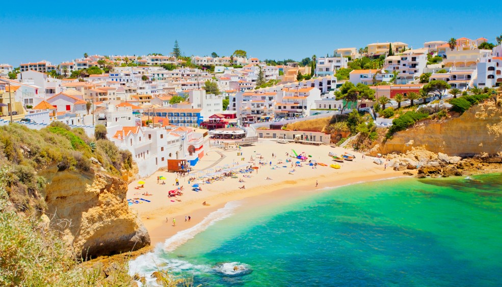
7 cheap destinations to enjoy before summer arrives
Do you fancy going away before the official summer holidays, to beat the crowds? Make a note of these ideas.
more info
7 places in Jordan you can’t afford to miss
Petra, Amman, Jerash, castles, Roman ruins, the Dead Sea, souks, narrow streets, deserts... Jordan has so much to offer and you can discover it all on a short trip, as everything is close by and transport links are good.
more info