

6 experiences for an extra special Mother's Day
Want to give your mother something different to celebrate this special day? Pack your bags because we have some getaway plans she's sure to love.
more info
Discover the Island of La Graciosa
Lanzarote is one of the most beautiful of the Canary Islands and La Graciosa, situated north-west of the latter, is one of its well-kept treasures. The two islands are separated by a strait known as El Río. The origin of the island’s name is not clear – some hold that it already existed before Lanzarote was added to the Crown of Castile following the expedition of the Norman conqueror, Jean de Béthencourt, in 1402. Whatever the case, its name is well deserved.
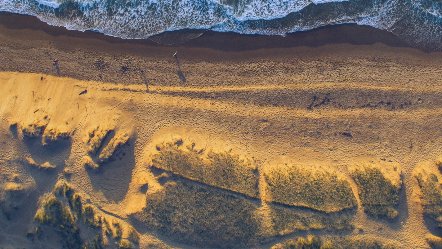
La Graciosa is the largest of the islands and islets that make up the so-called Chinijo Archipelago and its south side is dominated by extensive beaches of yellow sand, like La Cocina and La Francesa. Also located on the seaboard is its only two towns, Caleta de Sebo and Pedro Barba. Caleta de Sebo is the main population centre, while Pedro Barba is currently uninhabited. Like the rest of the Canary Islands, La Graciosa is volcanic in origin. Its highest peak is Las Agujas, which rises to 266 metres.
Chinijo Archipelago Marine Reserve
La Graciosa is part of the Chinijo Archipelago Marine Reserve. The word Chinijo, a local place-name meaning “small”, is usually applied to children here. With an area of 70,700 hectares, it is the largest marine reserve in Europe and is endowed with incalculable scenic value. This large reserve, which stretches between the towns of Teguise and Haría, comprises the islands of La Graciosa, Alegranza, Montaña Clara, Roque del Este, Roque del Oeste (also known as Roque del Infierno) and El Risco de Famara.
The biological wealth of La Graciosa is immense. Some 304 species of marine macroalgae have been catalogued thus far, accounting for 53.15% of the Canary Islands’ overall flora. Indeed, it boasts the greatest diversity of macroalgae species in the archipelago.
The rich resources contained in these waters account for the abundance of marine birds which feed on them for their staple diet. The geopark is designated a Special Conservation Area for Birds (ZEPA, in Spanish). The most common bird species here is Cory's shearwater. Also in considerable numbers are some rare or endangered species such as the kestrel, barn owls, Eleonora's falcon and the guincho or osprey.
Another highly significant potential value of this Marine Reserve are the historical references regarding the presence here of the monk seal. This marine vertebrate, which is now an endangered species worldwide, survives thanks to the tranquility and biological wealth contained along these shores, pitted with sea caves and jameos (collapsed lava tunnels) where they take shelter and reproduce. Alegranza is currently one of the best suited spots for reintroducing the monk seal whose numbers have dwindled sharply due to poaching on the nearby Mauritanian and Mediterranean coasts.
Underwater Journey
Diving is becoming increasingly more popular on the island, which features three major diving spots. El Canal, located between Alegranza and Roque del Oeste, has a platform at a depth of 25-30 m and a pronounced, 35-40 metre fault containing a large amount of fauna. There are abundant populations of large-size grouper, island grouper and amberjack, as well as abundant violescent sea-whip, yellow sea-whip and white gorgonian. Another ideal diving area is Montaña Amarilla, in the south-west of La Graciosa near Punta del Pobre. A short distance from the shore is a berm which dips down 12 metres and becomes more perpendicular to the coastline the further offshore you swim, sloping into a 20-m chasm. This is densely populated with mainly common two-banded seabream, red mullet, barred hogfish and Mediterranean slipper lobster. As you approach the last area, Alegranza, a marked increase in coastal marine life becomes evident. Large crabs and limpets can be seen from the boat. Diving in these waters is a privilege, especially since the Marine Reserve came into being. To dive there, you need you first apply to the Canary Island government for the relevant permits.
One surprising feature of these underwater seascapes are the large colonies of sea-whip where the current is strong. They latch onto the rock and catch the nutrition that flows to them through the water. The ban on commercial fishing in this restricted area enables fish to reproduce freely, enriching these waters in quantity and variety. Such species as the wrass, which has disappeared in other areas, is prolific here, as is red mullet, eagerly searching for food on the more sandy seabeds.
Come along and dive in the depths of La Graciosa in the Chinijo Archipelago off Lanzarote. Check out our flights here.
Text and photos by Turismo Lanzarote
more info

GRAN CANARIA, THE IDEAL DESTINATION FOR 4-5 DAYS
Looking for somewhere to go on a long weekend? Have you got a few days off and you want to make the most of them? Gran Canaria is a destination that has it all if you want to get away, any time of year!
more info
10 reasons why you should visit Malta
What do we know about Malta? We know it's one of the smallest countries in Europe, that it's an island with a pleasant Mediterranean climate all year round... Malta is an attractive and fascinating destination waiting to be discovered. A country with many hidden gems in its tiny surface area of just 316 square kilometres. What gems? Ok, here are 10 reasons to visit Malta.
more info